
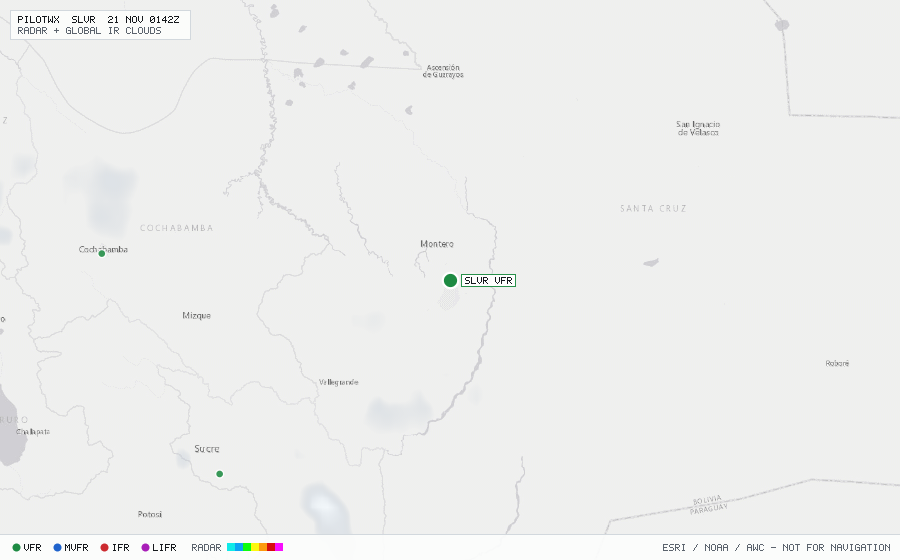
SLVR
Santa Cruz/Viru Intl, S, BO
VFRMETAR
METAR observed , 8 min ago
METAR SLVR 202000Z 33018G28KT 9999 FEW033 35/24 Q1003 NOSIG
- Wind
- 330° at 18 kt, gusting 28 kt
- Visibility
- 6+ SM
- Clouds
- FEW 3,300 ft
- Ceiling
- none
- Temperature
- 35°C, dewpoint 24°C
- Altimeter
- 29.62 inHg (1003 hPa)
TAF
Issued , valid 20 Nov 1800Z to 21 Nov 1800Z
TAF SLVR 201600Z 2018/2118 34018G30KT 9999 SCT033 TX36/2019Z TN26/2109Z
  BECMG 2021/2023 34012KT
  PROB30 TEMPO 2108/2112 BKN013
  BECMG 2112/2114 34015G28KT