SLSI
San Ignacio de Velas
The station exists but has no recent METAR or TAF.
San Ignacio de Velas
The station exists but has no recent METAR or TAF.
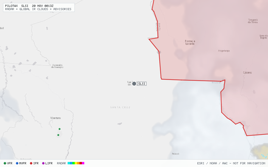
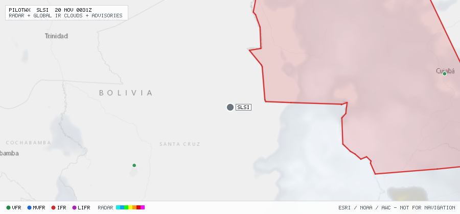
Within 70 NM · 2 active items
WSBZ23 SBGL 191624
SBAZ SIGMET 29 VALID 191629/191930 SBAZ - SBAZ AMAZONICA FIR EMBD TS FCST WI S1140 W06215 - S1336 W06144 - S1400 W06023 - S1506 W06036 - S1535 W06025 - S1545 W06010 - S1354 W05649 - S1219 W05437 - S1114 W05416 - S0938 W05521 - S0938 W05523 - S0934 W05523 - S0906 W05542 - S0824 W05445 - S0735 W05639 - S0840 W05906 - S1029 W06048 - S1140 W06215 TOP FL470 STNR NC=
WSBZ23 SBGL 191700
SBAZ SIGMET 33 VALID 191705/191930 SBAZ - SBAZ AMAZONICA FIR EMBD TS FCST WI S1506 W06036 - S1616 W06010 - S1619 W05827 - S1711 W05825 - S1727 W05808 - S1727 W05543 - S1402 W05543 - S1402 W05703 - S1545 W06010 - S1535 W06025 - S1506 W06036 TOP FL470 STNR NC=
No active CONUS G-AIRMETs (+0h) within 70 NM.
No PIREPs reported within 70 NM in the last 3 hours.