
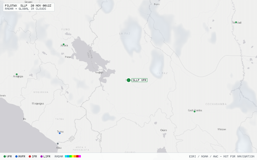
SLLP
La Paz/El Alto Intl, L, BO
VFRMETAR
METAR observed , 29 min ago
METAR SLLP 191900Z 05011KT 9999 VCSH SCT020 SCT023CB SCT070 BKN200 18/M05 Q1038 NOSIG
- Wind
- 050° at 11 kt
- Visibility
- 6+ SM
- Weather
- VCSH
- Clouds
- SCT 2,000 ft, SCT 2,300 ft, SCT 7,000 ft, BKN 20,000 ft
- Ceiling
- 20,000 ft AGL
- Temperature
- 18°C, dewpoint -5°C
- Altimeter
- 30.65 inHg (1038 hPa)
TAF
Issued , valid 19 Nov 1800Z to 20 Nov 1800Z
TAF SLLP 191600Z 1918/2018 06012KT 9999 SCT020 FEW023CB TX20/1919Z TN05/2010Z
  TEMPO 1918/1922 03015G25KT TS
  BECMG 2000/2003 VRB02KT
  TEMPO 2012/2015 16010KT
  BECMG 2015/2018 06012KT