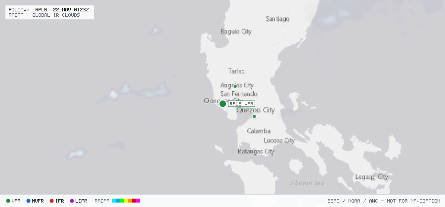

RPLB
Olongapo/Subic Bay Intl, BA, PH
VFRMETAR
METAR observed , 44 min ago
METAR RPLB 202300Z 05004KT 020V080 9999 FEW020 BKN300 27/22 Q1017 NOSIG RMK A3003
- Wind
- 050° at 4 kt
- Visibility
- 6+ SM
- Clouds
- FEW 2,000 ft, BKN 30,000 ft
- Ceiling
- 30,000 ft AGL
- Temperature
- 27°C, dewpoint 22°C
- Altimeter
- 30.03 inHg (1017 hPa)
TAF
Issued , valid 21 Nov 0000Z to 22 Nov 0000Z
TAF RPLB 202300Z 2100/2124 09008KT 9999 FEW020 BKN080 TX32/2106Z TN25/2121Z
  TEMPO 2100/2106 06015KT SCT020 BKN080