
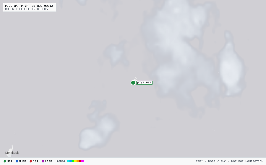
PTYA
Yap Island Intl, YA, FM
VFRMETAR
METAR observed , 35 min ago
METAR PTYA 192155Z 05008KT 12SM SCT016TCU BKN130 OVC300 27/26 A2990 RMK TCU ALQDS SLP123 T02740263
- Wind
- 050° at 8 kt
- Visibility
- 12 SM
- Clouds
- SCT 1,600 ft, BKN 13,000 ft, OVC 30,000 ft
- Ceiling
- 13,000 ft AGL
- Temperature
- 27.4°C, dewpoint 26.3°C
- Altimeter
- 29.90 inHg (1013 hPa)
TAF
Issued , valid 19 Nov 1800Z to 20 Nov 1800Z
TAF PTYA 191739Z 1918/2018 05012KT P6SM VCSH SCT014 BKN040
  PROB30 1922/2004 VRB12G20KT 4SM SHRA SCT012 BKN025