pilotwx

Fetched . Reload for newer reports. Full weather map · Map PNG · Text · JSON

Full map PNG
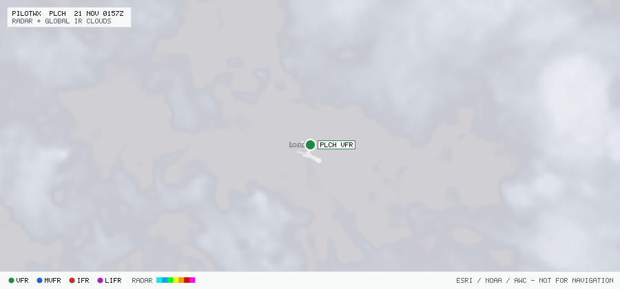
Live aviation weather map for PLCH with radar, infrared cloud cover, advisories, and station flight categories
VFR MVFR IFR LIFR SIGMET G-AIRMET PIREP Fetched 19 Nov 2251Z

PLCH

Christmas Isl/Cassidy Intl, L, KI

VFR

METAR

METAR observed , 52 min ago

METAR PLCH 192200Z VRB02KT 9999 VCSH SCT008 FEW016CB BKN040 27/25 Q10 07
Wind
variable at 2 kt
Visibility
6+ SM
Weather
VCSH
Clouds
SCT 800 ft, FEW 1,600 ft, BKN 4,000 ft
Ceiling
4,000 ft AGL
Temperature
27°C, dewpoint 25°C
Altimeter
not reported

TAF

Issued , valid 19 Nov 1800Z to 20 Nov 1800Z

TAF PLCH 191704Z 1918/2018 11008KT 9999 FEW018 SCT019 BKN100
  PROB40 TEMPO 1918/2012 5000 TSRA FEW016CB

Advisories & PIREPs

Within 70 NM · 1 active item

SIGMETs (1)

  • TS KZAK PAPA 1 · TS · EMBD · up to FL570 Valid 19 Nov 2225Z to 20 Nov 0225Z
    WSPA03 PHFO 192226
    KZAK SIGMET PAPA 1 VALID 192225/200225 PHFO-
    OAKLAND OCEANIC FIR EMBD TS OBS AT 2225Z WI N0545 W15945 - N0245
    W15345 - S0115 W15545 - N0200 W16300 - N0545 W15945. TOP FL570. STNR.
    INTSF.

G-AIRMETs (0)

No active CONUS G-AIRMETs (+0h) within 70 NM.

PIREPs — last 3 h (0)

No PIREPs reported within 70 NM in the last 3 hours.