pilotwx

Fetched . Reload for newer reports. Full weather map · Map PNG · Text · JSON

Full map PNG
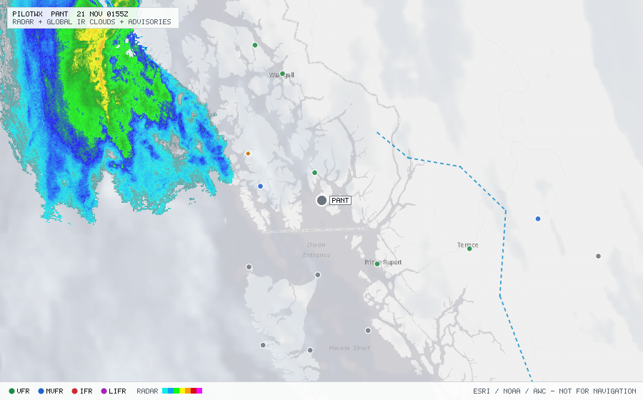
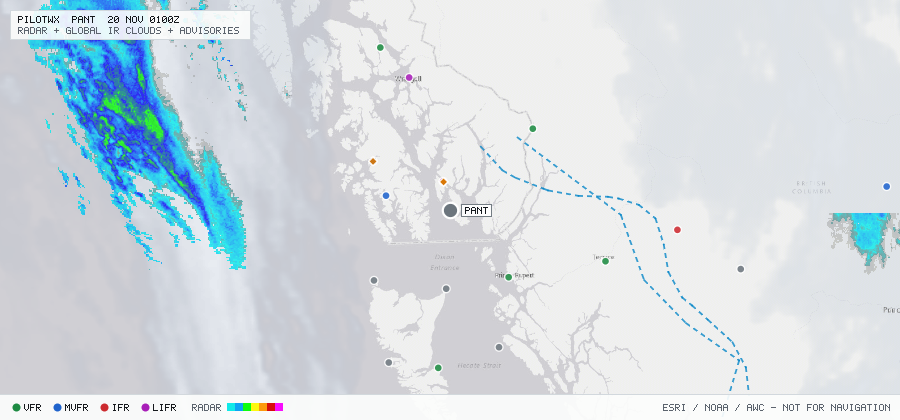
Live aviation weather map for PANT with radar, infrared cloud cover, advisories, and station flight categories
VFR MVFR IFR LIFR SIGMET G-AIRMET PIREP Fetched 20 Nov 0002Z

PANT

Annette Island Arpt

The station exists but has no recent METAR or TAF.
Advisories & PIREPs

Within 70 NM · 5 active items

SIGMETs (0)

No active SIGMETs within 70 NM.

G-AIRMETs (2)

  • FZLVL ZULU — 4,000 ft (Expires 20 Nov 0300Z)
  • FZLVL ZULU — SFC (Expires 20 Nov 0300Z)

PIREPs — last 3 h (3)

  • B737 · 300 ft · 20 NM · 19 Nov 2336Z (26 min ago)
    KTN UA /OV KTN /TM 2336 /FL003 /TP B737 /SK OVC003-TOP010 /RM BROKE OUT DURD RY 11 003 (AKFSS
  • C208 · 400 ft · 20 NM · 19 Nov 2241Z (1 h 21 min ago)
    000 UBUS10 KMSC 192245 KTN UA /OV KTN /TM 2241 /FL004 /TP C208 /SK OVC001-TOP004 /RM DURC RWY 29 (AKFSS)
  • PC12 · 2,800 ft · 61 NM · 19 Nov 2158Z (2 h 4 min ago)
    AKW UA /OV AKW/TM 2158/FL028/TP PC12/SK TOP020/RM DURC