
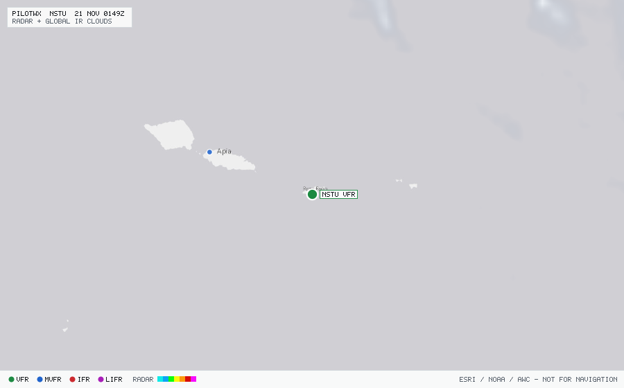
NSTU
Pago Pago/Tafuna Intl,, AS
VFRMETAR
METAR observed , 18 min ago
METAR NSTU 192350Z 13014G20KT 12SM SCT017 BKN055 30/25 A2980 RMK SLP093 8/800 T03010245 10305 20270 57017
- Wind
- 130° at 14 kt, gusting 20 kt
- Visibility
- 12 SM
- Clouds
- SCT 1,700 ft, BKN 5,500 ft
- Ceiling
- 5,500 ft AGL
- Temperature
- 30.1°C, dewpoint 24.5°C
- Altimeter
- 29.80 inHg (1009 hPa)
TAF
Issued , valid 20 Nov 0000Z to 21 Nov 0000Z
TAF NSTU 192330Z 2000/2024 14012KT P6SM SCT020
  FM200300 12015G20KT P6SM SCT020 BKN040