
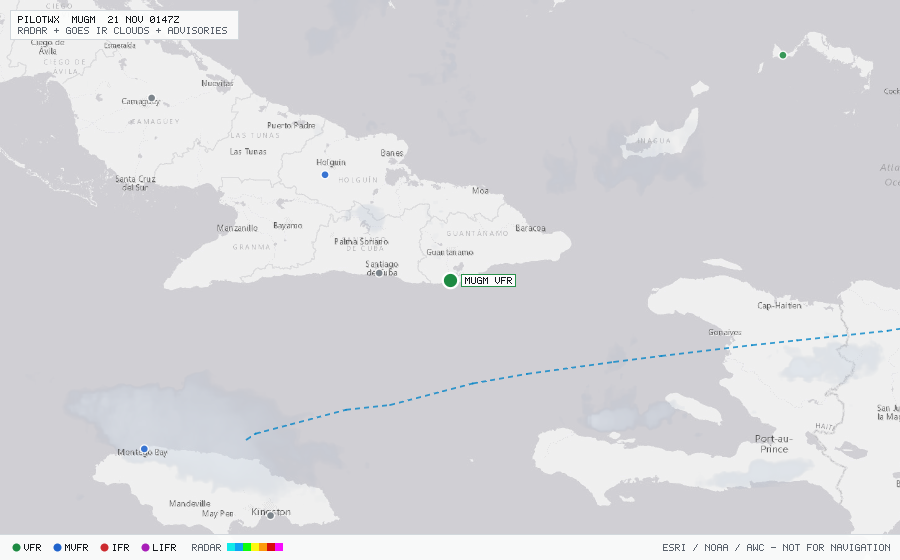
MUGM
Guantanamo Bayi/Point Arpt, 14, CU
VFRMETAR
METAR observed , 53 min ago
METAR MUGM 192151Z 25003KT 10SM FEW030 BKN200 29/23 A2991 RMK AO2 SLP128 T02890233 $
- Wind
- 250° at 3 kt
- Visibility
- 10+ SM
- Clouds
- FEW 3,000 ft, BKN 20,000 ft
- Ceiling
- 20,000 ft AGL
- Temperature
- 28.9°C, dewpoint 23.3°C
- Altimeter
- 29.91 inHg (1013 hPa)
TAF
Issued , valid 19 Nov 1500Z to 20 Nov 1500Z
TAF MUGM 191500Z 1915/2015 09006KT 9999 FEW030 SCT250 QNH2993INS
  BECMG 1917/1919 19006KT 9999 VCSH FEW030 FEW060 SCT250 QNH2989INS
  BECMG 1922/1924 33006KT 9999 NSW FEW030 SCT250 QNH2990INS TX31/1917Z TN23/2010Z FN20094