
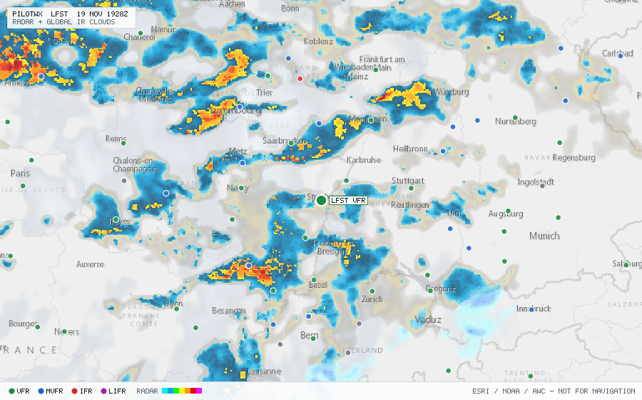
LFST
Strasbourg/Entzheim Arpt, PD, FR
VFRMETAR
METAR observed , 17 min ago
METAR LFST 191730Z AUTO 20014KT 9999 FEW018/// OVC038/// OVC053/// ///TCU 10/08 Q0997 TEMPO 26015G25KT SHRA FEW035CB
- Wind
- 200° at 14 kt
- Visibility
- 6+ SM
- Clouds
- FEW 1,800 ft, OVC 3,800 ft, OVC 5,300 ft
- Ceiling
- 3,800 ft AGL
- Temperature
- 10°C, dewpoint 8°C
- Altimeter
- 29.44 inHg (997 hPa)
TAF
Issued , valid 19 Nov 1800Z to 20 Nov 1800Z
TAF AMD LFST 191741Z 1918/2018 20012KT 9999 FEW025 BKN040
  TEMPO 1918/2008 26015G25KT FEW030TCU
  PROB40 TEMPO 1918/2008 SHRA FEW035CB
  TEMPO 2011/2018 26020G30KT SHRA FEW025CB