
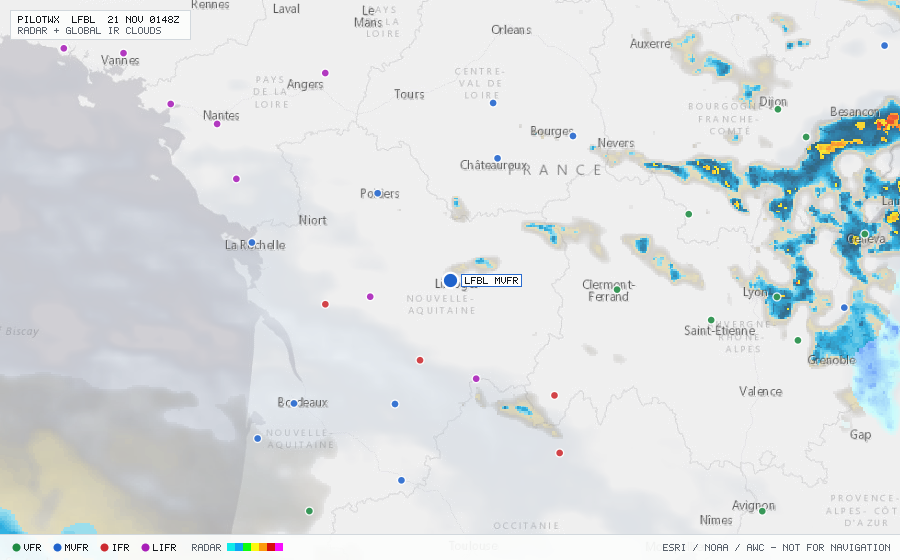
LFBL
Limoges/Bellegarde Arpt, NA, FR
MVFRMETAR
METAR observed , 26 min ago
METAR LFBL 192330Z AUTO 22008KT 190V250 9999 SCT008/// BKN013/// OVC057/// ///CB 08/07 Q1008 TEMPO 24015G25KT 3500 SHRA BKN025CB
- Wind
- 220° at 8 kt
- Visibility
- 6+ SM
- Clouds
- SCT 800 ft, BKN 1,300 ft, OVC 5,700 ft
- Ceiling
- 1,300 ft AGL
- Temperature
- 8°C, dewpoint 7°C
- Altimeter
- 29.77 inHg (1008 hPa)
TAF
Issued , valid 20 Nov 0000Z to 21 Nov 0000Z
TAF LFBL 192300Z 2000/2024 25010KT 9999 BKN025
  TEMPO 2000/2018 24015G25KT 3500 SHRA BKN006 BKN025TCU SCT030CB
  PROB30 TEMPO 2008/2016 -TSRA BKN025CB