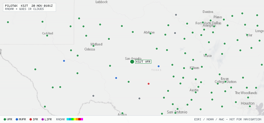

KSJT
San Angelo/Mathis Fld, TX, US
VFRMETAR
METAR observed , 34 min ago
METAR KSJT 192351Z 12006KT 10SM CLR 17/11 A3016 RMK AO2 SLP210 T01720111 10217 20172 55007
- Wind
- 120° at 6 kt
- Visibility
- 10+ SM
- Clouds
- clear below 12,000 ft (CLR)
- Ceiling
- none
- Temperature
- 17.2°C, dewpoint 11.1°C
- Altimeter
- 30.16 inHg (1021 hPa)
TAF
Issued , valid 20 Nov 0000Z to 21 Nov 0000Z
TAF KSJT 192320Z 2000/2024 14010KT P6SM SKC
  FM200400 VRB05KT P6SM FEW250
  FM200900 VRB05KT P6SM FEW025 SCT250
  TEMPO 2011/2015 6SM BR SCT015 BKN025
  FM201700 18012G22KT P6SM FEW150 SCT250