
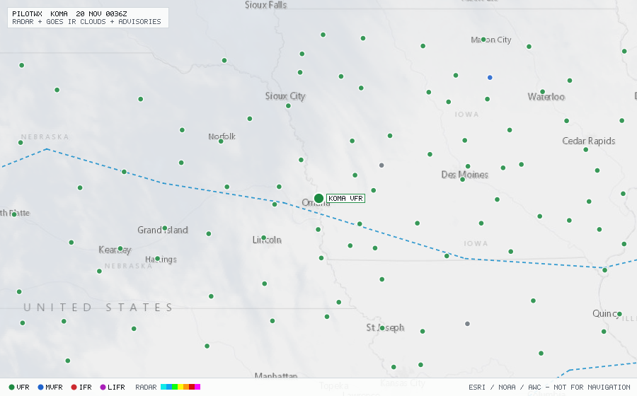
KOMA
Omaha/Eppley Fld, NE, US
VFRMETAR
METAR observed , 30 min ago
METAR KOMA 192352Z 14008KT 10SM BKN250 13/07 A3015 RMK AO2 SLP214 T01280072 10189 20128 56008
- Wind
- 140° at 8 kt
- Visibility
- 10+ SM
- Clouds
- BKN 25,000 ft
- Ceiling
- 25,000 ft AGL
- Temperature
- 12.8°C, dewpoint 7.2°C
- Altimeter
- 30.15 inHg (1021 hPa)
TAF
Issued , valid 20 Nov 0000Z to 21 Nov 0000Z
TAF KOMA 192320Z 2000/2024 16010KT P6SM SCT250
  FM200900 16014KT P6SM SCT250 WS020/20040KT
  FM201600 18025G35KT P6SM FEW250