
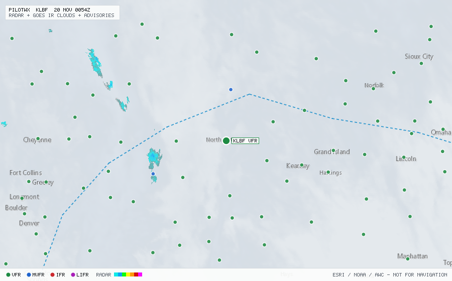
KLBF
N Platte/Lee Bird Fld, NE, US
VFRMETAR
METAR observed , 13 min ago
METAR KLBF 192353Z AUTO 12007KT 10SM SCT024 11/08 A3002 RMK AO2 SLP182 T01060078 10172 20106 50001 $
- Wind
- 120° at 7 kt
- Visibility
- 10+ SM
- Clouds
- SCT 2,400 ft
- Ceiling
- none
- Temperature
- 10.6°C, dewpoint 7.8°C
- Altimeter
- 30.02 inHg (1017 hPa)
TAF
Issued , valid 20 Nov 0000Z to 21 Nov 0000Z
TAF KLBF 192331Z 2000/2024 13011KT P6SM SCT025 BKN200
  FM200600 15009KT P6SM OVC015
  FM201100 15008KT P6SM BKN015
  FM201300 16006KT P6SM SCT015 SCT160
  FM201600 19010KT P6SM SCT160 SCT250
  FM201800 20013G21KT P6SM SCT160 BKN250
  FM202200 20011KT P6SM BKN120