
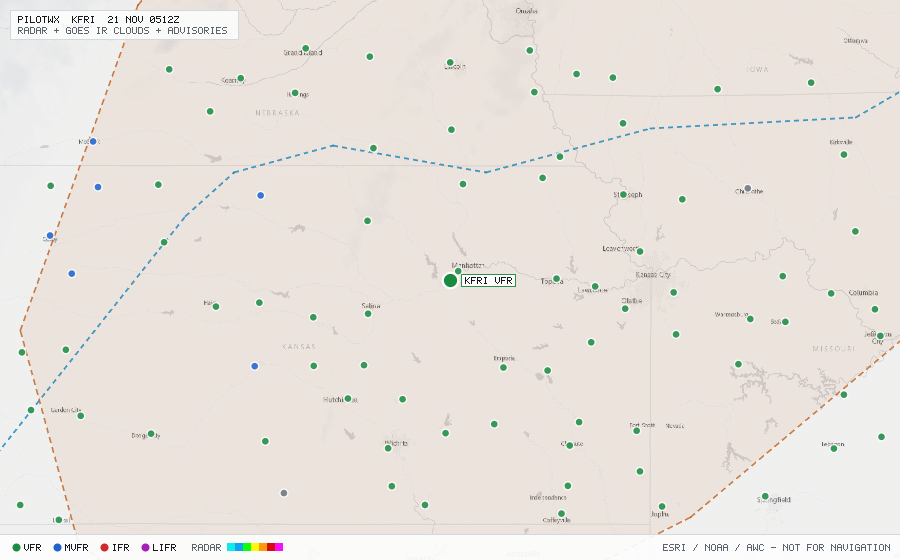
KFRI
Ft Riley/Marshall Fld, KS, US
VFRMETAR
METAR observed , 43 min ago
METAR KFRI 192155Z AUTO 17012KT 10SM CLR 21/09 A3015 RMK AO2 SLP207 T02100086 $
- Wind
- 170° at 12 kt
- Visibility
- 10+ SM
- Clouds
- clear below 12,000 ft (CLR)
- Ceiling
- none
- Temperature
- 21°C, dewpoint 8.6°C
- Altimeter
- 30.15 inHg (1021 hPa)
TAF
Issued , valid 19 Nov 2000Z to 21 Nov 0200Z
TAF COR KFRI 192000Z 1920/2102 18015G20KT 9999 SKC QNH3016INS
  BECMG 2004/2005 16010G15KT 9999 SKC QNH3015INS
  BECMG 2011/2012 18015G35KT 9999 FEW070 QNH3003INS
  BECMG 2100/2101 19015G30KT 9999 SCT070 QNH3000INS TX21/1921Z TN12/2013Z