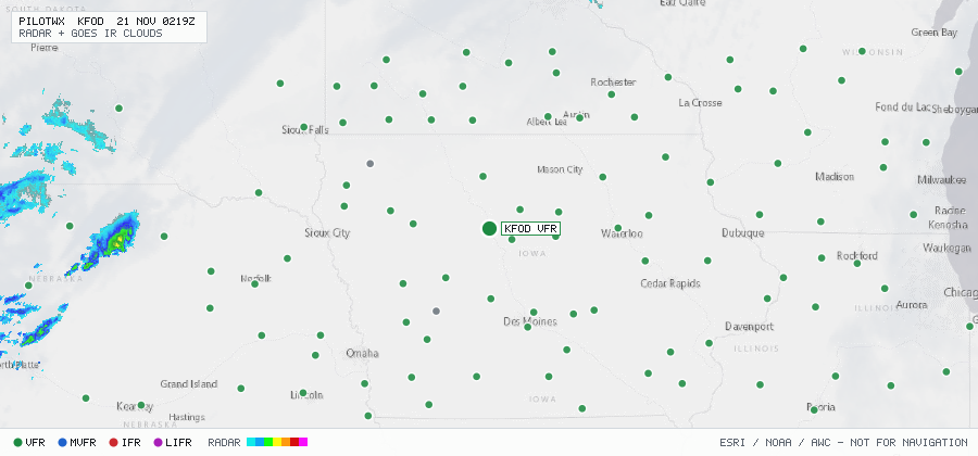

KFOD
Fort Dodge Rgnl, IA, US
VFRMETAR
METAR observed , 37 min ago
METAR KFOD 210056Z AUTO 19013G19KT 10SM CLR 16/11 A2983 RMK AO2 SLP115 T01560106 $
- Wind
- 190° at 13 kt, gusting 19 kt
- Visibility
- 10+ SM
- Clouds
- clear below 12,000 ft (CLR)
- Ceiling
- none
- Temperature
- 15.6°C, dewpoint 10.6°C
- Altimeter
- 29.83 inHg (1010 hPa)
TAF
Issued , valid 21 Nov 0000Z to 22 Nov 0000Z
TAF KFOD 202340Z 2100/2124 18012G21KT P6SM FEW045 BKN090
  FM210900 19013G22KT P6SM SCT025 BKN035
  FM211100 19012KT P6SM SCT015 OVC027
  FM211500 21009KT P6SM OVC015
  PROB30 2118/2120 6SM -SHRA
  FM212000 30008KT 6SM -SHRA OVC015