pilotwx

Fetched . Reload for newer reports. Full weather map · Map PNG · Text · JSON

Full map PNG
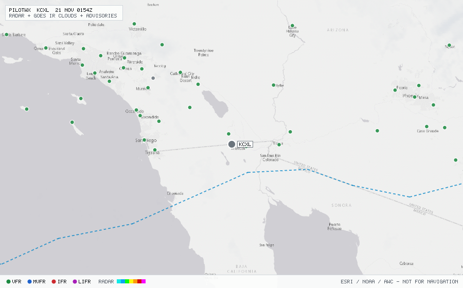
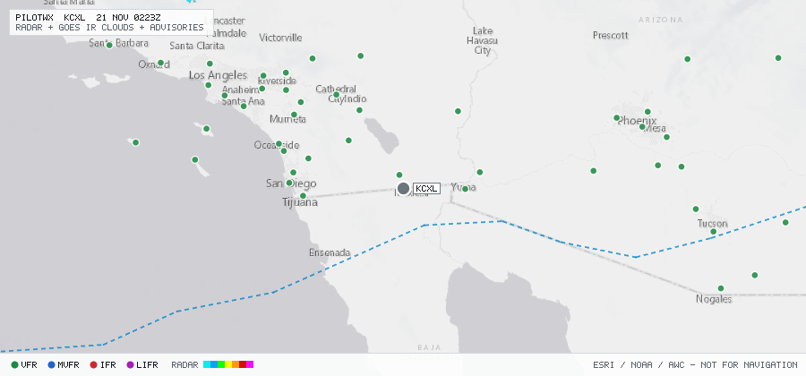
Live aviation weather map for KCXL with radar, infrared cloud cover, advisories, and station flight categories
VFR MVFR IFR LIFR SIGMET G-AIRMET PIREP Fetched 20 Nov 0011Z

KCXL

Calexico Intl

The station exists but has no recent METAR or TAF.
Advisories & PIREPs

Within 70 NM · 4 active items

SIGMETs (0)

No active SIGMETs within 70 NM.

G-AIRMETs (2)

  • MT_OBSC SIERRA — due to MTNS OBSC BY CLDS PCPN BR (Expires 20 Nov 0300Z)
  • TURB-LO TANGO — MOD · SFC to FL180 · due to MTN WAVE (Expires 20 Nov 0300Z)

PIREPs — last 3 h (2)

  • E50P · 0 ft · 66 NM · 19 Nov 2247Z (1 h 25 min ago)
    TRM UA /OV TRM/TM 2247/FLDURC/TP E50P/TB MODERATE TURBULENCE 090-100
  • SR22 · 12,000 ft · 63 NM · 19 Nov 2149Z (2 h 23 min ago)
    DAG UA /OV PSP090040/TM 2149/FL120/TP SR22/SK BKN-TOP120/TA 03/TB NEG/RM AWC-WEB