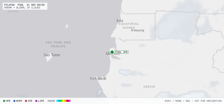
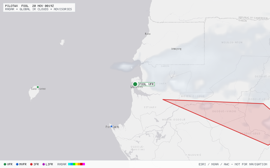
FOOL
Libreville/M'Ba Intl, ES, GA
MVFRMETAR
METAR observed , 41 min ago
METAR FOOL 192200Z 22006KT 180V240 8000 -RA SCT012 FEW020CB 28/25 Q1013 NOSIG
- Wind
- 220° at 6 kt
- Visibility
- 4.97 SM
- Weather
- -RA
- Clouds
- SCT 1,200 ft, FEW 2,000 ft
- Ceiling
- none
- Temperature
- 28°C, dewpoint 25°C
- Altimeter
- 29.91 inHg (1013 hPa)
TAF
Issued , valid 19 Nov 1800Z to 21 Nov 0000Z
TAF FOOL 191700Z 1918/2024 24010KT 9999 SCT012
  PROB40 TEMPO 1921/2002 4000 TSRA BKN010 FEW020CB
  BECMG 2000/1902 11005KT