
FAVR
Vredendal
The station exists but has no recent METAR or TAF.
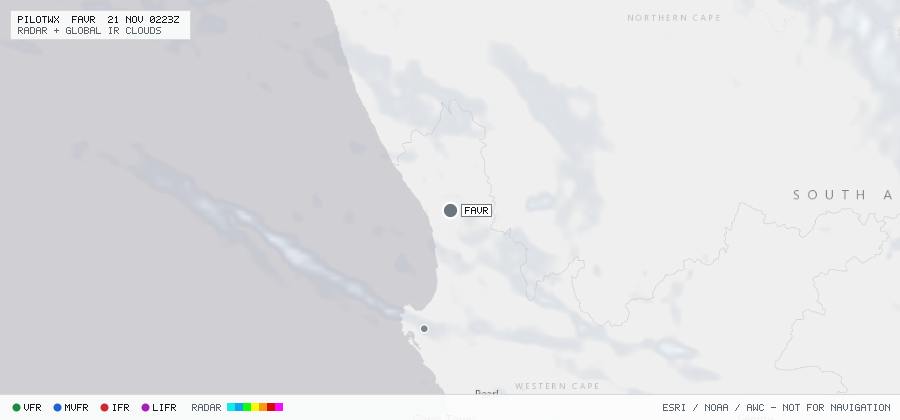
Vredendal
The station exists but has no recent METAR or TAF.
Within 70 NM · 1 active item
WSZA21 FAOR 191744
FACA SIGMET E01 VALID 191800/192200 FAOR-
FACA CAPE TOWN FIR EMBD TS FCST WI
S3030 E01805 - S3030 E02116 - S3119 E02345 - S3057 E02619 -
S3054 E02648 - S3107 E02731 - S3127 E02436 - S3214 E02310 -
S3343 E02255 - S3316 E02009 TOP FL300=
No active CONUS G-AIRMETs (+0h) within 70 NM.
No PIREPs reported within 70 NM in the last 3 hours.