
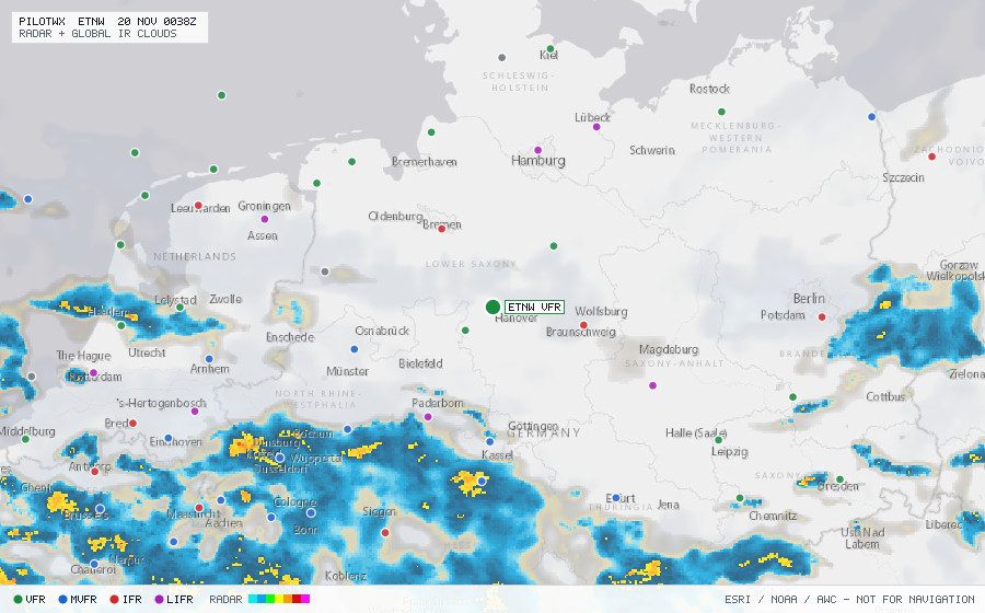
ETNW
Wunstorf, NI, DE
VFRMETAR
METAR observed , 1 h 3 min ago
METAR ETNW 192320Z 33004KT 9999 SCT014 BKN032 03/02 Q0994 BLU
- Wind
- 330° at 4 kt
- Visibility
- 6+ SM
- Clouds
- SCT 1,400 ft, BKN 3,200 ft
- Ceiling
- 3,200 ft AGL
- Temperature
- 3°C, dewpoint 2°C
- Altimeter
- 29.35 inHg (994 hPa)
TAF
Issued , valid 19 Nov 1800Z to 20 Nov 1800Z
TAF ETNW 191711Z 1918/2018 27010KT 8000 NSW SCT015 BKN020
  BECMG 1918/1920 35005KT 5000 -RA BKN008
  TEMPO 1920/2008 33004KT 2500 RADZ BKN004 OVC006
  PROB30 2006/2009 33002KT 0300 FG OVC001
  BECMG 2008/2010 28003KT 8000 NSW FEW010