
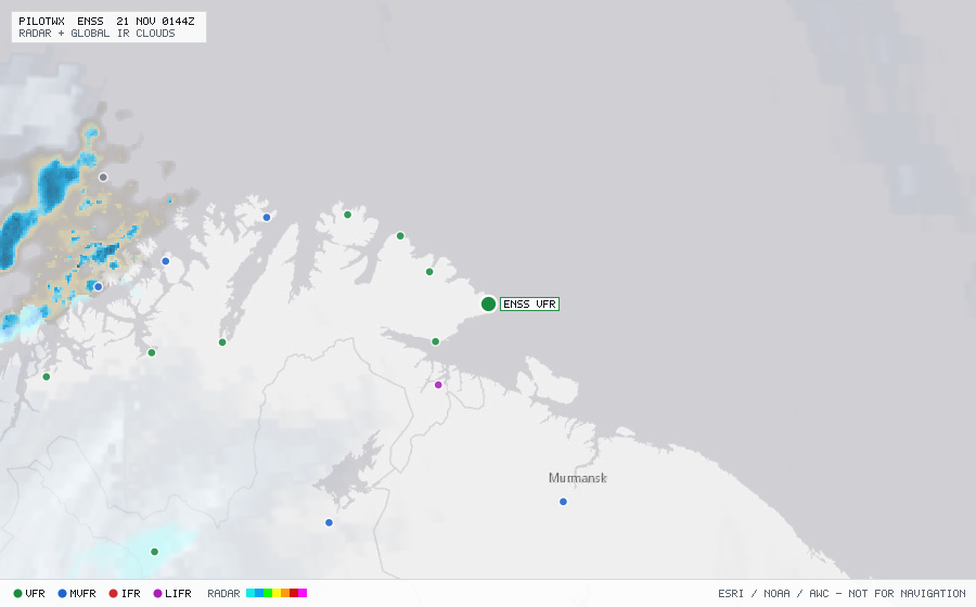
ENSS
Vardoe Arpt, FI, NO
MVFRMETAR
METAR observed , 12 min ago
METAR ENSS 192220Z AUTO 22004KT 9999 BKN011/// BKN014/// OVC018/// 02/00 Q0993 RMK WIND 0500FT 23008KT
- Wind
- 220° at 4 kt
- Visibility
- 6+ SM
- Clouds
- BKN 1,100 ft, BKN 1,400 ft, OVC 1,800 ft
- Ceiling
- 1,100 ft AGL
- Temperature
- 2°C, dewpoint 0°C
- Altimeter
- 29.32 inHg (993 hPa)
TAF
Issued , valid 19 Nov 1500Z to 19 Nov 2000Z (expired)
TAF ENSS 191400Z 1915/1920 20009KT 9999 FEW012 BKN018
  TEMPO 1915/1920 BKN014