
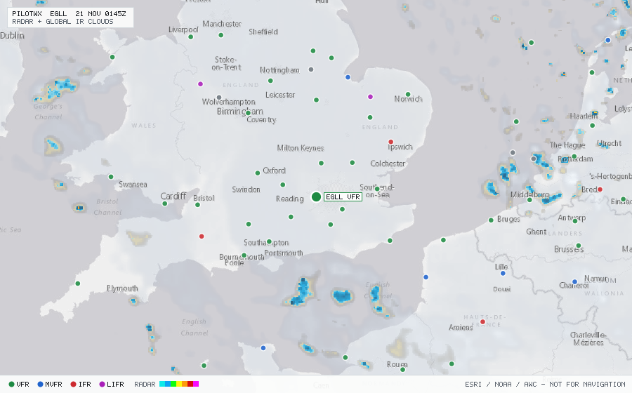
EGLL
London/Heathrow Intl, EN, GB
IFRMETAR
METAR observed , 16 min ago
METAR EGLL 192220Z AUTO 36003KT 330V030 8000 -RADZ BKN006 BKN024 07/06 Q0994 TEMPO BKN004
- Wind
- 360° at 3 kt
- Visibility
- 4.97 SM
- Weather
- -RA -DZ
- Clouds
- BKN 600 ft, BKN 2,400 ft
- Ceiling
- 600 ft AGL
- Temperature
- 7°C, dewpoint 6°C
- Altimeter
- 29.35 inHg (994 hPa)
TAF
Issued , valid 19 Nov 2000Z to 21 Nov 0000Z
TAF AMD EGLL 192039Z 1920/2024 32003KT 9999 BKN006
  TEMPO 1920/2006 7000 -RADZ BKN004
  PROB30 2000/2006 0500 FG BKN001
  PROB40 TEMPO 2006/2009 1200 BR BKN002
  BECMG 2008/2011 02010KT SCT025
  PROB30 TEMPO 2011/2013 7000 -RADZ BKN012