
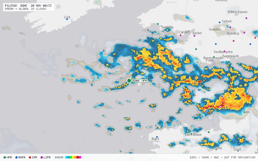
EGHC
Penzance/Lands End Arpt, EN, GB
VFRMETAR
METAR observed , 7 h 34 min ago (stale)
METAR EGHC 191620Z 27019G31KT 9999 -SHRA FEW011 SCT018CB 11/08 Q0991
- Wind
- 270° at 19 kt, gusting 31 kt
- Visibility
- 6+ SM
- Weather
- -SHRA
- Clouds
- FEW 1,100 ft, SCT 1,800 ft
- Ceiling
- none
- Temperature
- 11°C, dewpoint 8°C
- Altimeter
- 29.26 inHg (991 hPa)
TAF
Issued , valid 19 Nov 1500Z to 19 Nov 1800Z (expired)
TAF EGHC 191409Z 1915/1918 26019KT 9999 SCT030
  TEMPO 1915/1918 7000 SHRA
  PROB40 TEMPO 1915/1918 27022G32KT 3000 +SHRA BKN009