
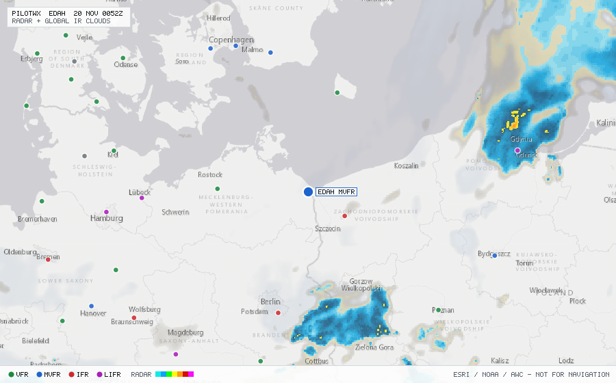
EDAH
Heringsdorf Arpt, MV, DE
MVFRMETAR
METAR observed , 26 min ago
METAR EDAH 192250Z AUTO 34003KT 310V020 9999 // FEW016/// BKN022/// OVC059/// 04/03 Q0990
- Wind
- 340° at 3 kt
- Visibility
- 6+ SM
- Clouds
- FEW 1,600 ft, BKN 2,200 ft, OVC 5,900 ft
- Ceiling
- 2,200 ft AGL
- Temperature
- 4°C, dewpoint 3°C
- Altimeter
- 29.23 inHg (990 hPa)
TAF
Issued , valid 9 Nov 1500Z to 10 Nov 0000Z (expired)
TAF EDAH 091400Z 0915/0924 16006KT 6000 OVC005
  TEMPO 0915/0924 2000 BR OVC002
  PROB30 TEMPO 0915/0924 0500 FZFG OVC001