
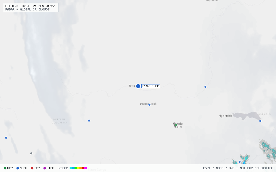
CYXJ
Fort St John/N Peace Rgnl, BC, CA
VFRMETAR
METAR observed , 25 min ago
METAR CYXJ 200000Z CCA 02004KT 15SM R30/6000FT/U FEW220 M02/M03 A2992 RMK CI1 SLP176
- Wind
- 020° at 4 kt
- Visibility
- 15 SM
- Clouds
- FEW 22,000 ft
- Ceiling
- none
- Temperature
- -2°C, dewpoint -3°C
- Altimeter
- 29.92 inHg (1013 hPa)
TAF
Issued , valid 19 Nov 1900Z to 20 Nov 0700Z
TAF CYXJ 191840Z 1919/2007 25005KT P6SM SCT200
  BECMG 1922/1924 32006KT
  FM200500 30008KT P6SM FEW010
  PROB30 2005/2007 3/4SM BR BKN004 RMK NXT FCST BY 200100Z