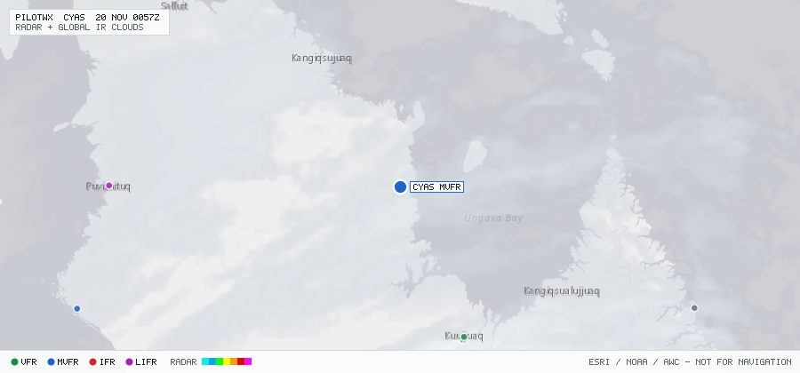

CYAS
Kangirsuk Arpt, QC, CA
MVFRMETAR
METAR observed , 34 min ago
METAR CYAS 191900Z 28010KT 7SM -SN BKN015 BKN250 M06/M08 A2976 RMK SN2ST5CS1 SLP090
- Wind
- 280° at 10 kt
- Visibility
- 7 SM
- Weather
- -SN
- Clouds
- BKN 1,500 ft, BKN 25,000 ft
- Ceiling
- 1,500 ft AGL
- Temperature
- -6°C, dewpoint -8°C
- Altimeter
- 29.76 inHg (1008 hPa)
TAF
Issued , valid 19 Nov 1700Z to 19 Nov 2200Z
TAF AMD CYAS 191713Z 1917/1922 26014KT P6SM SCT009 OVC025
  TEMPO 1917/1922 5SM -SN OVC009 RMK NXT FCST BY 201500Z