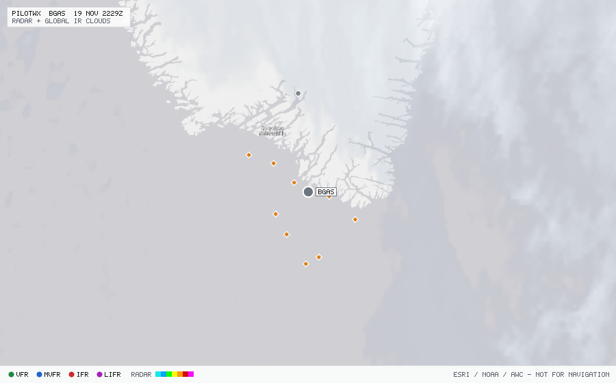
BGAS
Angisoq
The station exists but has no recent METAR or TAF.

Angisoq
The station exists but has no recent METAR or TAF.
Within 70 NM · 4 active items
No active SIGMETs within 70 NM.
No active CONUS G-AIRMETs (+0h) within 70 NM.
ARP SAS943 6109N04459W 1749 F360 6001N05001W 1811 URTAK MS51 221/32 KT LNRKT DDL UAK 191749 J82A
ARP QTR76W 5906N04519W 1702 F380 5802N05002W 1723 DORYY MS47 254/30 KT A7AOG QXS UAK 191702 J46A
ARP AAL151 5851N04520W 1636 F400 5830N05000W 1655 BOKTO MS46 258/32 KT N806AA QXS UAK 191636 L23A
ARP DAL163 6008N04542W 1603 F360 6002N05000W 1620 5930N05801W MS52 213/26 KT N415DX DDL UAK 191603 J86A