Aviation weather, maps, and advisories
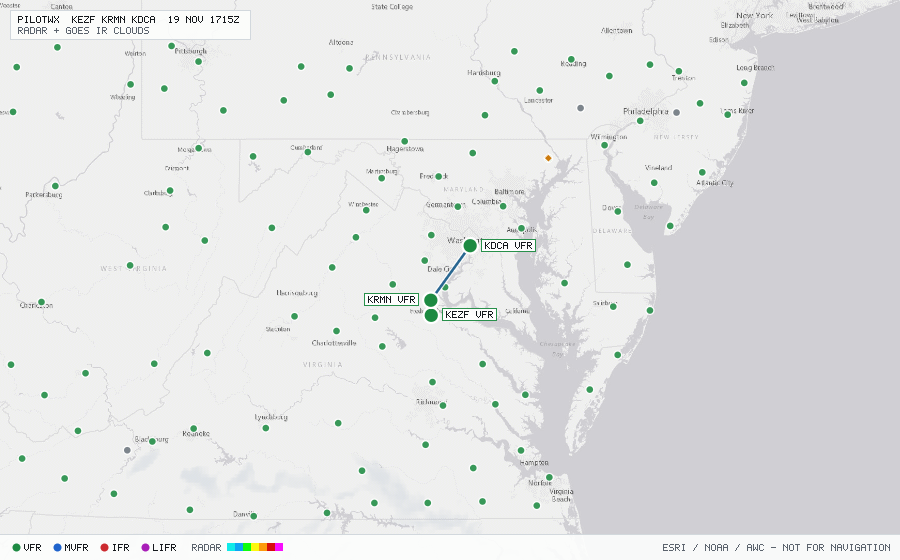
Enter one or more airport IDs separated by spaces or commas (up to 20). ICAO (KEZF) and US FAA (EZF) IDs both work. Every briefing includes METARs, TAFs, nearby PIREPs, active SIGMETs and G-AIRMETs, and a live radar + infrared cloud map.
- /KEZF,KRMN,KDCA — briefing + live weather map
- /map/KEZF,KRMN,KDCA — full-screen weather map (radar + IR clouds + advisories)
- /map/KEZF,KRMN,KDCA.png — static PNG weather map for screenshots and chat apps
- /KEZF,KRMN,KDCA.txt — plain text briefing
- /KEZF,KRMN,KDCA.json — JSON briefing
For AI agents (MCP & browser)
MCP endpoint: connect Claude, Cursor, ChatGPT, or Claude Code directly to https://pilotwx.opsfloor.org/mcp (stateless Streamable HTTP, no auth). Tools: get_weather, get_hazards, get_weather_map (returns a live PNG image), and search_airports.
Link-only browsing tools: if your browser can only open links found on a page, pick the first two letters of the airport's ICAO ID below, then open the airport (or its map / PNG / text link). US stations start with K, Alaska PA, Hawaii PH, Canada C. Full guide in /llms.txt.